
A Tale of Two Tree Lines Across Somerville
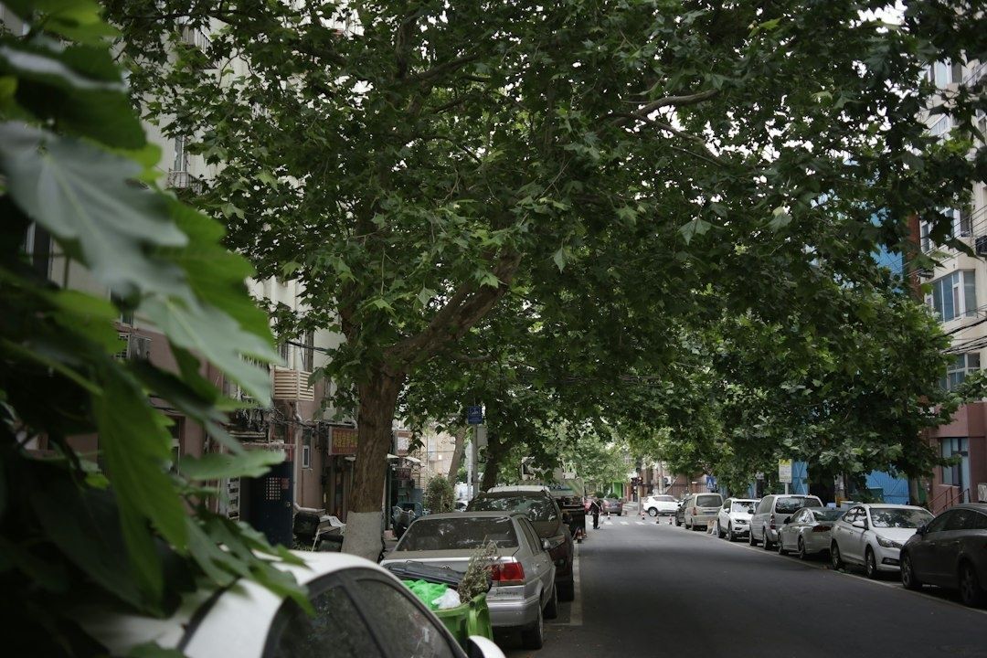
Walk from the more shaded blocks of West Somerville toward East Somerville and the change can register in the body before it becomes a statistic. A leafy residential street offers patches of shelter, cooler pavement, and a more comfortable route for children, older adults, and anyone carrying groceries. Farther east, broad paved corridors and exposed sidewalks can feel noticeably hotter, especially during a heat wave when shade is not a luxury but a practical form of protection.
Somerville”s tree canopy is therefore more than neighborhood decoration. Street trees intercept solar radiation, cool the air through evapotranspiration, filter pollution, reduce stormwater runoff, and make walking more tolerable. The east-west divide is not a product of natural geography. It reflects historical development patterns, transportation corridors, industrial land uses, dense lot lines, and public investment decisions that left some parts of the city with far fewer places for trees to grow. Understanding that history is essential to building a fairer climate future. Residents seeking broader context on environmental climate divides can see how urban heat burdens often follow existing social and infrastructure inequalities.
The Urban Heat Disparity and Its Physical Toll
The Mystic River Watershed Association”s Wicked Hot Mystic project offers a vivid local picture. During a 2021 summer heat-wave study, volunteers and partner organizations mapped temperatures across the watershed and found that areas with trees, open space, and nearby water could be as much as 10 degrees Fahrenheit cooler than heavily paved locations. The hottest modeled reading was recorded on Mystic Avenue in Somerville, reaching 97.4 degrees, with a heat index of 100.7 degrees. Somerville appeared alongside Chelsea, East Boston, Everett, Revere, and Charlestown among the watershed”s hottest communities.
Those numbers describe more than an uncomfortable afternoon. Extreme heat increases cardiovascular and respiratory strain, worsens some chronic illnesses, and can become especially dangerous for older adults, young children, outdoor workers, people with limited mobility, and residents without reliable air conditioning. Hot nights create another burden because buildings and pavement release stored heat after sunset, reducing the opportunity for sleep and recovery. Boston”s heat-resilience planning reports that Massachusetts temperatures have risen by nearly 3.5 degrees Fahrenheit and that the region is experiencing more hot days and nights than in earlier decades. Future projections could bring roughly 40 to 60 days above 90 degrees annually in Boston by the 2070s, depending on emissions.
The pattern is not evenly distributed. Wicked Hot Mystic found sharp relationships between temperature, land use, race, and income. Primarily white neighborhoods in the study area had as much as 43 percent tree cover, while some BIPOC neighborhoods had only 3 percent and were nearly four degrees hotter at the same time. Research and reporting on formerly redlined communities show similar patterns across Greater Boston, where historically disinvested areas often have more pavement, fewer parks, and fewer cooling resources. A detailed account of these overlapping burdens appears in the Boston heat disparity analysis.
| Neighborhood condition | Likely heat effect | Resident impact |
|---|---|---|
| Dense tree canopy and connected green space | More shade and evaporative cooling | Lower surface temperatures and more comfortable walking |
| Large asphalt corridors and parking areas | Heat storage and strong radiant exposure | Greater daytime stress and hotter nighttime conditions |
| Small, isolated tree pits | Limited root volume and reduced crown growth | Less long-term shade from each planted tree |
| Low leaf density or damaged crowns | Reduced canopy function despite visible trunks | Less cooling, filtration, and stormwater interception |
This distinction matters because simply counting trees can conceal unequal performance. A young sapling, a stressed street tree, and a mature park tree do not provide the same amount of shade. Planning must consider canopy volume, leaf density, species health, and the places where people actually walk, wait for transit, work, and live.
Historical Roots of the East-West Forest Gap
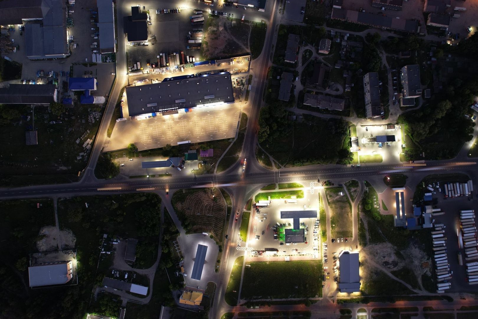
Somerville”s canopy pattern is tied to the physical and political shape of the city. Industrial rail connections, major roads, commercial corridors, and later interstate construction concentrated impervious surfaces in the east and northeast. These uses required wide paved rights of way, loading areas, parking, utility infrastructure, and large buildings with little room for soil. Once those systems were established, they influenced subsequent development and made it difficult to restore continuous green space.
Residential form also matters. Many eastern blocks have tightly packed homes, narrow setbacks, small yards, and sidewalks constrained by property lines. Western neighborhoods generally contain more opportunities for front-yard planting, wider planting strips, and larger connected spaces. That difference does not mean every western street is cool or every eastern street is treeless, but it changes the available planting surface and the cost of creating one.
Historical zoning and infrastructure inequities helped shape today”s canopy disparities across dense urban corridors. The Boston case study on equitable urban tree planting describes a recurring challenge in older cities: the neighborhoods with the greatest need may have the fewest physically feasible planting locations. This is why canopy equity cannot depend only on willing property owners or occasional planting campaigns. It requires public agencies to coordinate trees with housing, transportation, utilities, accessibility, and stormwater investments.
- Transportation infrastructure replaced or fragmented soil and green space, increasing pavement and heat storage.
- Industrial and commercial land uses created large areas where shade trees were historically treated as obstacles rather than infrastructure.
- Dense lot patterns left fewer setbacks and planting strips for mature canopies.
- Unequal public investment affected both the number of trees planted and the maintenance needed for them to survive.
- Legacy land-use decisions continue to influence where new trees can be installed without costly reconstruction.
Redlining and related forms of racialized disinvestment are part of this broader story across Greater Boston. Even where Somerville”s boundaries and neighborhood histories differ from Boston”s, the regional lesson is clear: the distribution of shade often follows past decisions about whose streets received parks, investment, and environmental protection. Treating the present gap as an individual landscaping problem would overlook those structural causes.
The Anatomy of a Tough Planting Environment
Planting a street tree on Broadway, Glen Street, or another heavily used Somerville corridor is an engineering project as much as a horticultural one. Designers must locate underground water, sewer, gas, and electrical infrastructure while accounting for overhead wires, driveways, curb access, sight lines, transit operations, and building entrances. A tree pit that looks generous at the surface may have very little soil beneath it. Without adequate soil volume, roots struggle to find water and oxygen, trunks grow slowly, and crowns remain too small to deliver meaningful shade.
Narrow sidewalks add another constraint. The planting area must leave a continuous accessible route, meet ADA requirements, and avoid creating obstacles for wheelchair users, people with strollers, and residents using mobility aids. Structural soil, suspended pavement systems, connected root beds, curb extensions, and redesigned parking areas can expand growing space, but each solution carries costs and requires coordination with utilities and roadway projects. A fair planting strategy should not place trees where they block access, nor should accessibility be used as a reason to abandon trees where better design is possible.
Street conditions can also limit the eventual value of a tree. A comparative study of Norway maples in Karlsruhe found that similarly sized park trees had healthier and denser crowns than street trees. The street trees had about 20 percent lower foliage density and averaged 83 square meters of leaf area, compared with 186 square meters for park trees. The study, comparing park and street tree leaf area, shows why trunk diameter alone is an inadequate measure of canopy performance. Salt, compacted soil, heat reflected from buildings, vehicle damage, pruning, drought, and limited root space can all reduce leaf area.
Young trees are especially vulnerable. Research on New York City street trees found that mortality is greatest during the first few years after planting and varies with land use, traffic, tree-pit conditions, species, and direct stewardship. Residential areas had higher survival than industrial, vacant, and some open-space settings. For Somerville, the lesson is practical: planting targets should be paired with watering plans, soil improvements, protective structures, inspections, and a clear responsibility for follow-up care.
Civic Solutions and Community Stewardship on the Ground
Closing the canopy gap will require coordinated public works rather than isolated plantings. Street reconstruction can include larger soil volumes, permeable pavement, stormwater infiltration areas, and connected planting beds. Urban forestry staff, transportation planners, disability advocates, utility operators, housing organizations, and residents should be involved early, when designs can still change. Pollinator corridors can complement shade trees by linking small gardens, curbside plantings, school grounds, and other pockets of habitat.
Somerville”s Pollinator Action Plan provides a useful framework for that broader work. Developed with the city”s Division of Public Space and Urban Forestry, a community advisory committee, and Offshoots, Inc., the plan offers site-specific garden designs, native plant lists, low-mow guidance, container options, and resources for renters, property owners, schools, and children. Pollinator plantings do not replace the cooling function of mature canopy, but they can improve biodiversity, support soil health, and make small spaces part of a connected ecological network.
- Adopt a nearby tree. Keep the tree pit free of trash, loosen compacted soil carefully, and provide regular deep watering during dry summer periods when city watering may not be sufficient.
- Protect the planting space. Avoid piling salt, soil, or construction materials around the trunk, and report damaged guards, broken branches, or blocked tree pits through the appropriate city channels.
- Ask for equity in project planning. At public meetings and neighborhood discussions, request planting maps, survival data, maintenance commitments, and attention to the hottest pedestrian routes.
- Support connected green infrastructure. Encourage permeable pavement, curbside planting beds, shade at bus stops and crossings, and designs that link trees with pollinator habitat.
- Organize neighbor care. A simple watering schedule shared by residents, businesses, schools, or tenant groups can make the difference between a surviving sapling and a missing tree.
Community stewardship should strengthen, not replace, municipal responsibility. Residents cannot safely provide the soil volume, utility coordination, pruning expertise, or long-term funding required for a citywide forest. But neighbors are often the first to notice drought stress, vandalism, blocked pits, or a newly planted tree in trouble. Public agencies can support that participation with clear guidance, free materials where possible, transparent planting plans, and regular measures of survival and canopy growth.
Building a Resilient Somerville From the Ground Up
Somerville”s east-west tree divide is a public health issue embedded in the city”s streetscape. The hottest corridors are often the same places where pavement is extensive, shade is scarce, housing is dense, and residents may have fewer options for escaping heat. Treating trees as cosmetic amenities would leave those conditions intact. Trees should instead be planned, funded, maintained, and protected as essential infrastructure, alongside sidewalks, drainage, transit access, and emergency services.
A fairer canopy will not appear through one planting season. It will require sustained attention to the places with the greatest thermal exposure, equitable funding for difficult sites, better survival tracking, and neighbor-to-neighbor care during increasingly dry and hot summers. When Somerville invests in root space, accessible sidewalks, connected habitat, and mature canopy, it does more than beautify a block. It creates cooler routes, healthier public spaces, and a stronger capacity to withstand the heat already reshaping urban life.

Comments are closed.